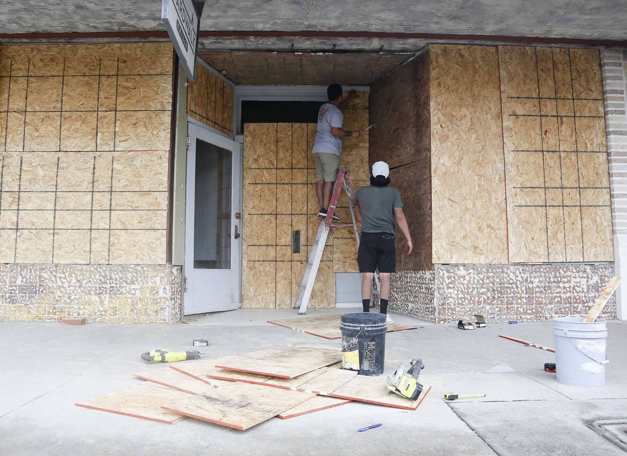
Hurricane Laura is expected to devastate the northwest Gulf coast with catastrophic winds that could uproot trees and storm surge that could reach 15 feet when it makes landfall as a Category 4 hurricane late Wednesday, but forecasters believe Houston will narrowly escape the worst of the wreckage.
Tracking steadily northwest across the Gulf of Mexico, Laura’s winds reached 115 mph with stronger gusts around 7 a.m. Wednesday as the hurricane morphed into a Category 3 storm roughly 290 miles southeast of Galveston. Hurricane Laura is expected to gain more strength, with windspeeds reaching 130 mph, and escalate into a Category 4 hurricane before pummeling the Gulf coast.
Forecasters are confident the storm will strike near the Texas Louisiana border — far enough east that Houston lies well outside the potential path, said Eric Berger of Space City Weather.
“It is now clear the Houston-Galveston metro area will escape the worst of what is a powerful Hurricane Laura,” Berger wrote Wednesday morning.
TRACK FLOODING: Our Texas Flood Map shows if your neighborhood is at risk
Berger said his team of meteorologists will continue to monitor the storm, and the Houston area should still expect some inclement weather as the hurricane ravages areas like Beaumont, Port Arthur and southwest Louisiana.
“This has been a very, very close call for Houston,” Berger wrote.
Similarly, the National Hurricane Center made no changes to Hurricane Laura’s predicted path early Wednesday, maintaining that the storm appeared to be heading for the Texas Louisiana border.
“The models are in very good agreement on the center of Laura moving into extreme southwestern Louisiana or southeastern Texas in about 24 hours,” the center wrote in a 4 a.m. update.
The hurricane’s intensification over the past day was “remarkable,” and there are “no signs it will stop soon,” the hurricane center said.
STORM FORECASTS: See the latest NWS forecast track and rainfall estimates
The same areas — from San Luis Pass to Intracoastal City, La. — remain under a hurricane warning that officials issued Tuesday. A storm surge warning is in effect for Freeport, Texas, to the mouth of the Mississippi River where there is danger of “life-threatening inundation” from rising waters that could penetrate 30 miles inland from the immediate coast.
The hurricane center urged residents in those areas to rush to finish preparations before multiple life-threatening hazards arrive Wednesday afternoon.
Devastating wind damage will occur where the hurricane makes landfall, the hurricane center said. Trees will be snapped or uprooted, well-built homes may sustain major damage and electricity and water could be shuttered for days or weeks. Widespread tree damage and power outages should be expected well beyond the hurricane’s center track.
Storm surge is expected to peak at 10 to 15 feet between Sea Rim State Park and Intracoastal City, La., which could be catastrophic.
Port Bolivar to Sea Rim State Park are expected to get 6 to 9 feet of storm surge; San Luis Pass to Port Bolivar and Galveston Bay could see 3 to 5 feet, forecasters predict.
Laura is expected to dump 5 to 10 inches of rainfall over the area between Wednesday afternoon and Friday, which could cause widespread flash flooding, the hurricane center said.
Hurricane-force winds and damaging wind gusts are expected to spread “well inland” into parts of eastern Texas and western Louisiana early Thursday, the hurricane center said.
Houston should expect to see downed trees and sporadic to widespread power outages as the storm tracks to the east, Berger said. Tropical-storm force winds could blow through areas east of Interstate 45 in Houston, while greater gusts will likely impact Galveston Bay, Chambers County and Bolivar Peninsula.
A Shell Alcyone Buoy located 315 miles southeast of Galveston reported around 4:40 a.m. a wind gust of 107 mph and 35-foot seas near the eyewall of Hurricane Laura, according to the National Weather Service Houston. Satellite images showed the hurricane’s eye beginning to develop early Wednesday.
anna.bauman@chron.com
"strike" - Google News
August 26, 2020 at 05:25PM
https://ift.tt/2QrtS97
Hurricane Laura expected to strike as Cat 4, cause 'catastrophic' wind damage in SE Texas - Houston Chronicle
"strike" - Google News
https://ift.tt/2WheuPk
https://ift.tt/2VWImBB
Bagikan Berita Ini


0 Response to "Hurricane Laura expected to strike as Cat 4, cause 'catastrophic' wind damage in SE Texas - Houston Chronicle"
Post a Comment